
⌖
Land & Hydrographic Surveying
Precision cadastral, engineering, topographic and bathymetric surveys for land, water and infrastructure.
View capabilityWe combine surveying, Earth observation, GIS, GeoAI and big data analytics to turn complex location data into decisions that stand up in the real world.
for Sustainable Development
Established in Nigeria
Professionals trained
Data acquisition to deployment
From first measurement to executive dashboard, our teams connect field evidence, satellite intelligence and scalable digital systems.
Precision cadastral, engineering, topographic and bathymetric surveys for land, water and infrastructure.
View capabilitySatellite and UAV imagery transformed into reliable evidence for environmental and operational decisions.
View capabilityEnterprise GIS, spatial databases, dashboards and applications that put intelligence into daily workflows.
View capabilityMachine learning for feature extraction, change detection, risk prediction and automated geospatial interpretation.
View capabilityScalable integration and analysis of spatial, sensor, business and public-sector datasets.
View capabilityEvidence-led ESIA mapping, natural-resource monitoring, suitability modelling and regional planning.
View capability
Good geospatial work does more than display where things are. It explains patterns, tests scenarios and makes risk visible before resources are committed.
Acquire with confidenceSurvey, UAV, satellite, client and open-source data under one quality framework.
Analyse at scaleSpatial modelling, GeoAI and big data pipelines designed around the decision.
Deliver for adoptionMaps, reports, dashboards, APIs and operational platforms your teams can use.
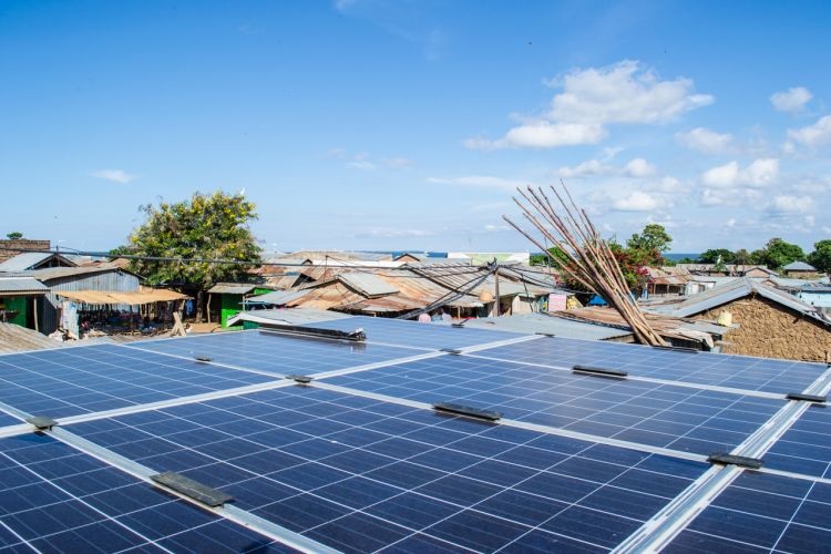
Multi-criteria analysis supporting safer, faster infrastructure decisions.

Earth observation and modelling for vulnerable landscapes and communities.
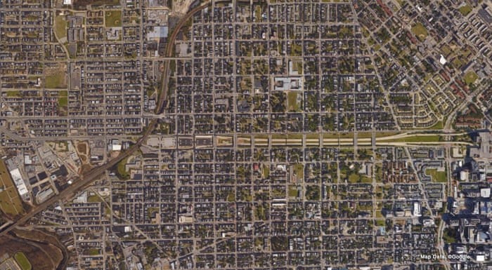
Route, terrain and asset analysis built for engineering coordination.
Project updates and technical perspectives will appear here when published.
We will help you define the evidence, method and delivery path.